Archive
33 results
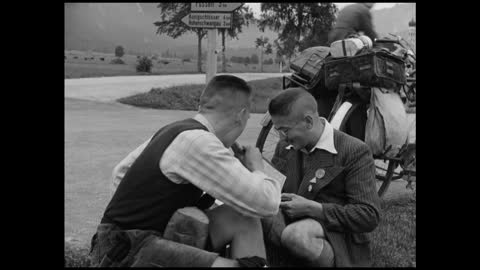 Film
Jewish scouts with a map and bread, Füssen 1937
HFE027079
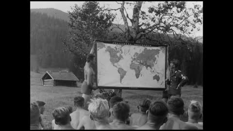 Film
Political lesson with a world map, 1937
HFE026760
 Film
The leader's hand on the map of Asia, 1937
HFE027313
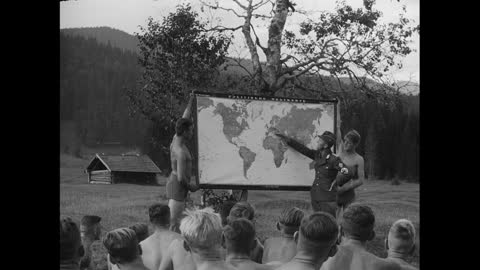 Film
A lesson at the world map in the open air, 1937
HFE027312
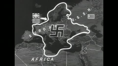 Film
A map of Europe encircled, with the Allies pressing in
HFE007758
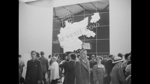 Film
'Das weiße Gold' at the Düsseldorf exhibition, 1937
HFE027380
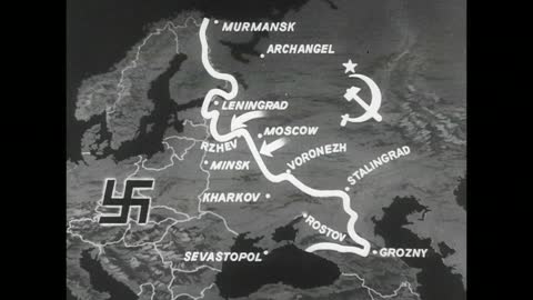 Film
Map of the Russian front from Murmansk to Grozny
HFE007763
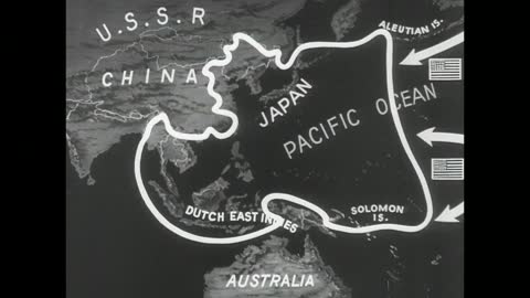 Film
Map of the Pacific with the Japanese perimeter
HFE007767
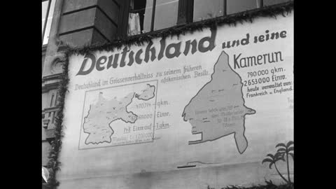 Film
'Germany and its colonies in Africa 1914', 1937
HFE027200
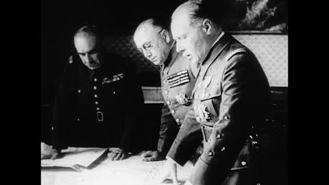 Film
Three officers bend over a map
HFE025527
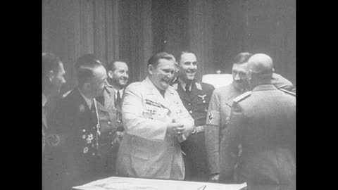 Film
Göring, Hitler and a man resembling Mussolini at a map table
HFE025525
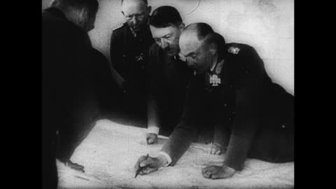 Film
Hitler and his generals over a map
HFE025432
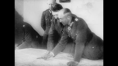 Film
Hitler and a general follow a line on the map
HFE025512
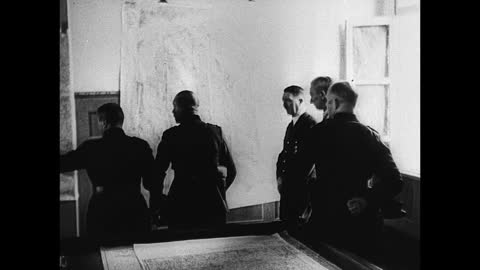 Film
Officers before a map wall and a map table
HFE025438
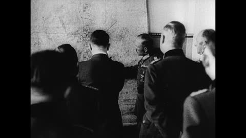 Film
Hitler with officers at a wall map
HFE025448
 Film
German officers during the Dutch surrender talks
HFE024481
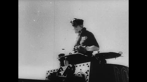 Film
Officer with a map and crewman at the optics
HFE025595
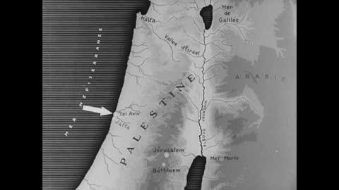 Film
Map of Palestine showing borders, 1930s
HFE011364
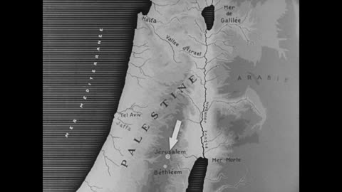 Film
Map of Palestine with arrow symbols, 1930s
HFE011359
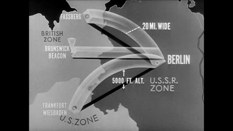 Film
Animated map of the air corridors to Berlin
HFE005681
 Film
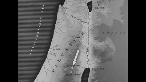
Animated map of Palestine with immigration arrows, 1930s
HFE011815
 Film
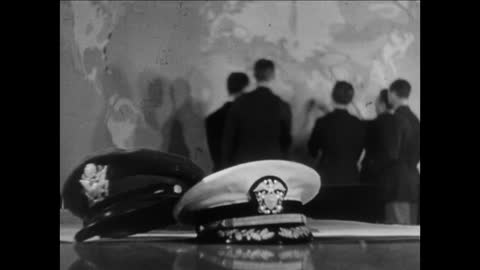
Planning before a wall map of the world
HFE005466
 Film
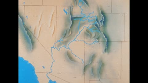
A relief map of the Colorado River basin
HFE004508
 Film
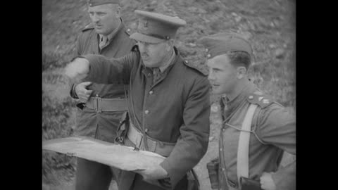
An officer points out the ground on a map
HFE010545